

Transform Aerial Data Into Useful Information
Through the use of UAV technologies, Business, Corporate and Government agencies can now acquire quality data reports that can assist in making decisions that impact efficiency and productivity. UAV analytic methods can deliver recommendations for land development, infrastructure maintenance and utilization. Enterprises that have already deployed drone services in their businesses frequently discover multi-level useage that renders massive reductions on, time, money and risk.
Drone Services have become be extremely beneficial in places that are either dangerous or simply impossible for field teams to physically reach via traditional methods.

MultiSpectral Imaging
Multispectral images are a very effective tool for evaluating soil health and productivity and analyzing plant health. This capability allows us to see what the naked eye cannot which in-turn allows management to make informed decisions.
Data from multispectral imaging has the following benefits:
- Identify pests, disease and weeds. Optimize pesticide usage and crop sprays through early detection.
- Provide data on soil fertility and refine fertilization by detecting nutrient deficiencies.
- Assists with land management and whether to take ground in or out of production.
- Estimate crop yield.Count plants and determine population or spacing issues. Estimate crop yield.
- Measure irrigation. Control crop irrigation by identifying areas where water stress is suspected.
- Make land improvements such as install drainage systems and waterways based on multispectral data.
- View damage to crops from farm machinery and make necessary repairs or replace problematic machinery.
- Survey fencing and farm buildings.
- Monitor livestock.
Our drones are equipped with Global Positioning Satellite (GPS), First Person View (FPV), stabilized gimbals, ultra hi-res cameras and even autonomous waypoint navigation.
Thermographic Imaging
Traditional methods to acquire thermal images would involve placing people with equipment into elevated locations, which is not only high-risk but also required extensive effort and was quite inflexible. UAV technology removes those barriers and allows us to capture thermographic images from any location with more accurate data. The applicatins are endless but to name a few:
- Building Diagnostics: Infrared (IR) cameras are used to diagnose the condition of buildings by detecting thermal bridges and other anomalies
- Roof Inspections: Locating wet insulation in roofing systems using Infrared Imaging mounted on a drone is the most effective way
- Security and Rescue: Searching for people and animals with the option of alarm mode utilization and manual temperature range tuning
- Solar Inspection: An infrared camera detects the temperature differences in or on a photovoltaic module and visualizes them in a thermal image.
- High voltage: Abnormal heating associated with high-resistance or excessive current flow is the main cause of many problems in electrical systems
- Firefighting: Firefighters use infrared cameras to locate people and animals in dense smoke and to pinpoint the source of fires
- Agriculture: Thermal imaging is growing fast and plays an important role in various fields of agriculture and ecology

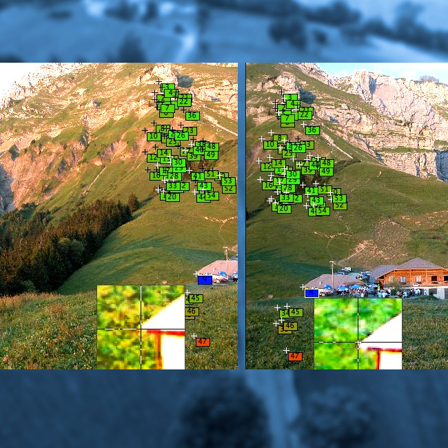
Orthomosaic Stitching
Orthomosaic Stitching is different from Photo Stitching.
Photo Stitching simply combines images together with a very low number of matches/keypoints required. For flat terrain this can be ok, but if it is not flat, it can become very problematic, leading to several elements that will not line-up properly for accurate analysis. These level of errors become stacked over entire datasets, which leads to faulty distant measurements.
Orthomosaic Stitching, on the other hand, is based on true orthorectification. It is a aerial photograph that is geometrically accurate. This technique removes the distortions from the images using the Digital Surface Model (DSM) that is generated from the 3D Model. In this method a much higher number of matches/keypoints are used to render the 3D model to give visual and data accuracy.
Having been adjusted for topographic relief, lens distortion, and camera tilt, Orthomosaic Imaging and stitching allows for accurately measuring distances, because it renders a true representation of the surface.
NATIONWIDE SERVICES
FAA CERTIFIED OPERATORS
UAV FULLY INSURED
ACCURACY, SPEED AND ECONOMICAL
3D IMAGING CAPABILITY
THERMAL IMAGING CAPABILITY
DOT MAPPING
REAL TIME MONITORING
VIDEO AND IMAGE PROCESSING
EASY MEDIA FILE ACCESSIBILITY
MEDIA EDITING SERVICES
START TO FINISH PRODUCT DELIVERY
FLIGHT PLANNING AND EXECUTION
EXPERT CUSTOMER SUPPORT