

USING DRONES FOR....
DOT MAPPING:
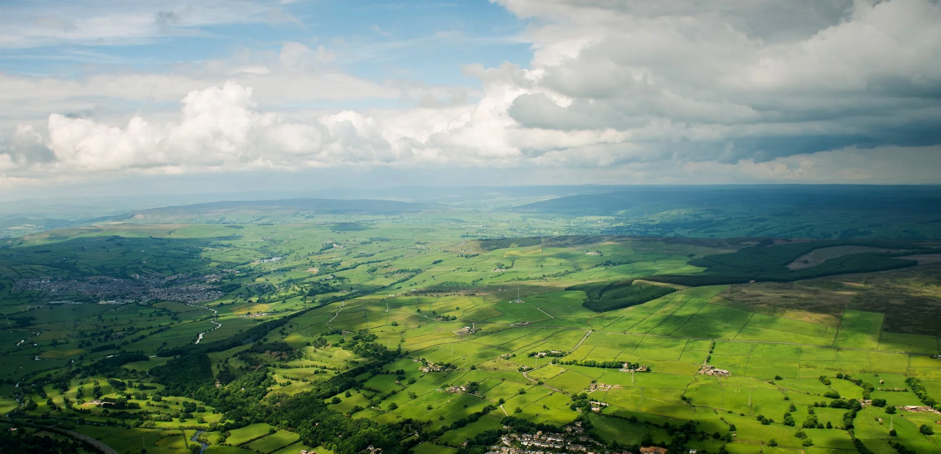
Our drone mapping services are a perfect solution for any State DOT (Department Of Transportation). We are able to easily and effectively analyze any developed or undeveloped road area without disruption to the current infrastructure.
In turn our mapping system allows DOT ultra data analysis of areas and roadways before ever sending a single person into the field. Such data can also easily reveal Pavement condition, Lane markings and Vegetation encroachment to name a few. This will save DOT time, money and man hours with higher efficiency to make proper decisions and/or restoration and construction panning.
Surveying | Data Analysis | 3D Mapping | Land Inspection | | And More...
Nationwide Services
FAA Certified Operators
UAV Fully Insured
Accuracy, Speed and economical
3D imaging capability
Thermal imaging Capability
Dot Mapping
Real time Monitoring
Video and Image processiNG
Easy Media file ACCESSIBILIty
Media Editing services
Start to Finish Product delivery
flight planning and execution
Expert customer support